The Hookito atlas
World maps to explore and download
Start with a few highlights from the Hookito atlas, then explore each collection. Download maps for a lesson, a project or a post with credit to Hookito.

The Hookito atlas
Start with a few highlights from the Hookito atlas, then explore each collection. Download maps for a lesson, a project or a post with credit to Hookito.
The collection brings together data Hookito already uses: the capitals and facts behind the country pages, the outlines from the countries list, the paintings in Art, the album lists in Audio and the night side of the globe. The boundaries combine Eurostat GISCO and Natural Earth data. The world maps use a plain equirectangular projection, cropped at 84° north and 58° south; the continent and Europe maps are zoomed from more detailed boundaries.
Spotted a mistake? Write to submissions@hookito.com.
3 highlights · 10 maps in the collection
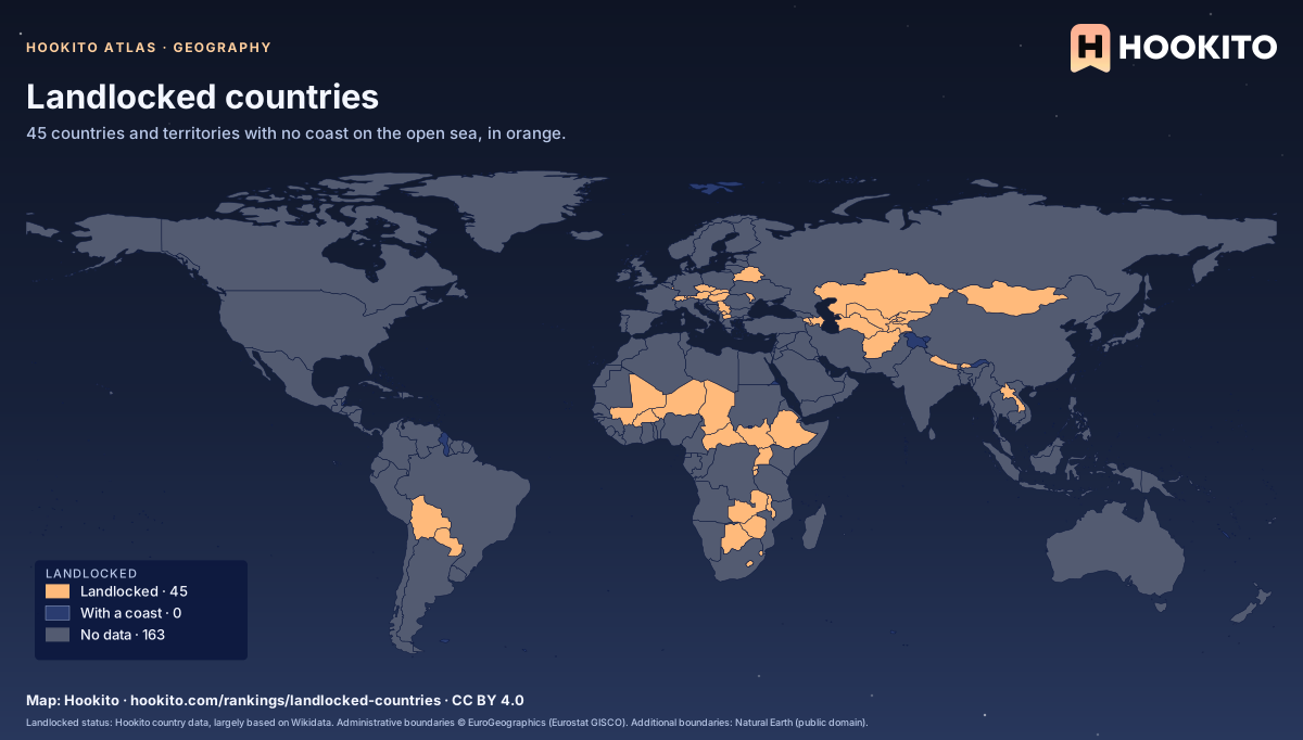
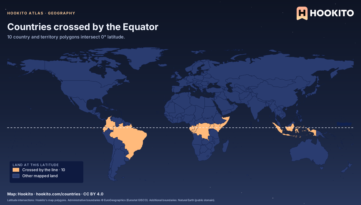
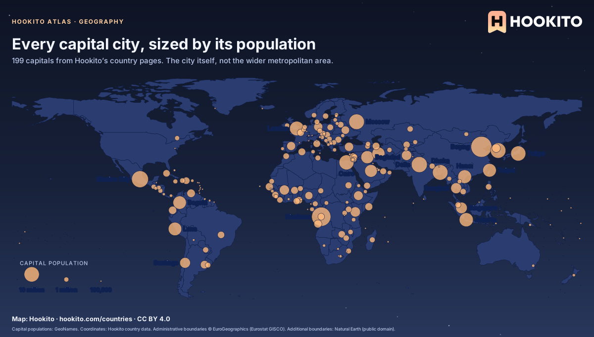
Country size, coastlines, capitals and the borders between places.
2 highlights · 8 maps in the collection
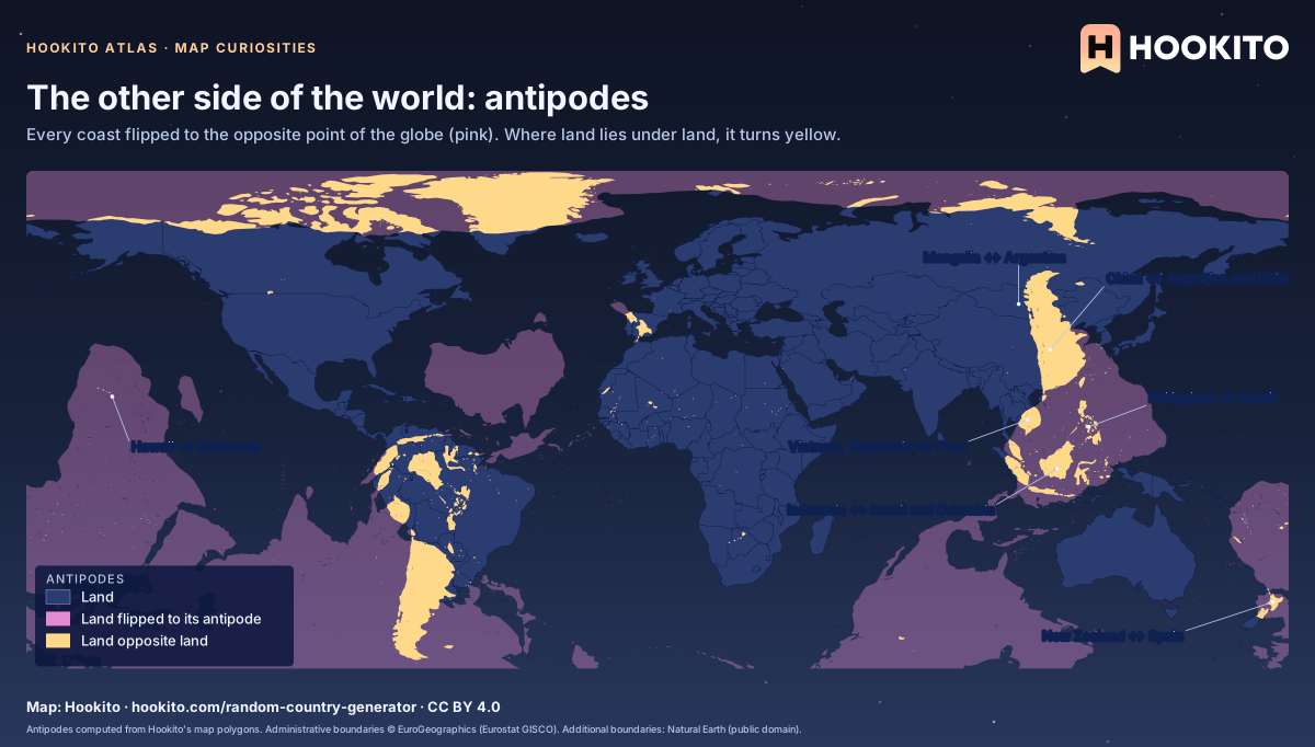
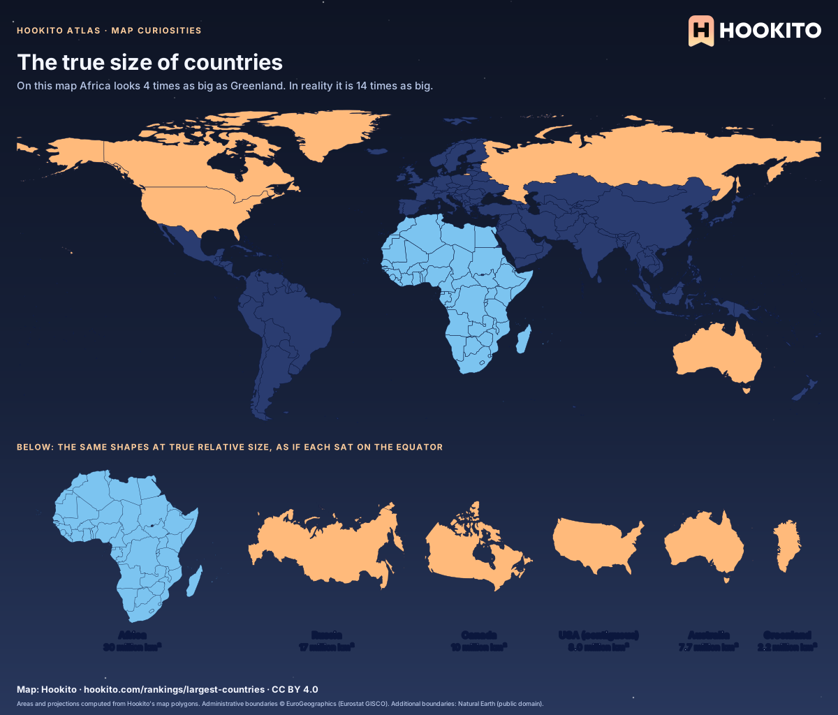
Antipodes, true sizes, meridians and hemispheres: what the flat world map hides.
1 highlights · 6 maps in the collection
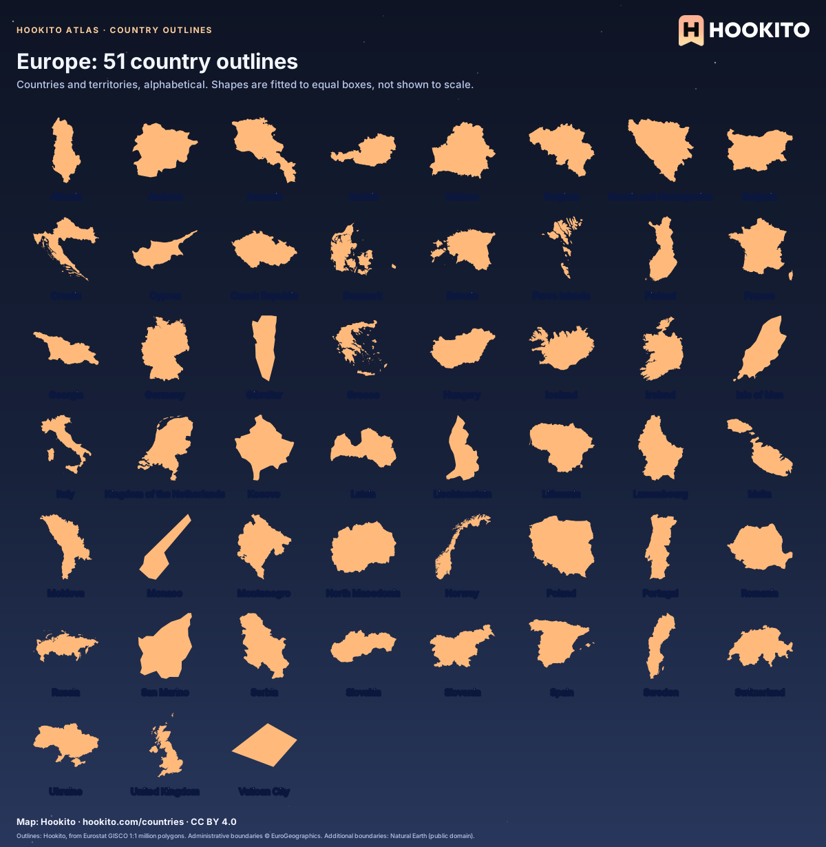
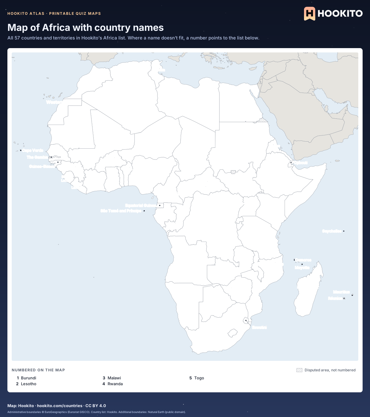
Every country and territory in our directory, grouped by continent. Learn the shapes or cover the labels and test yourself.
3 highlights · 11 maps in the collection
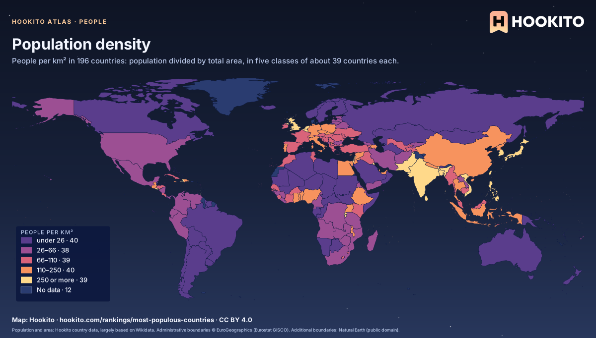
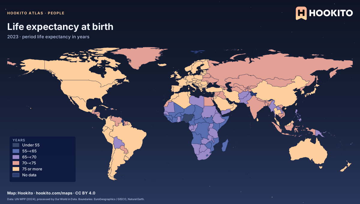
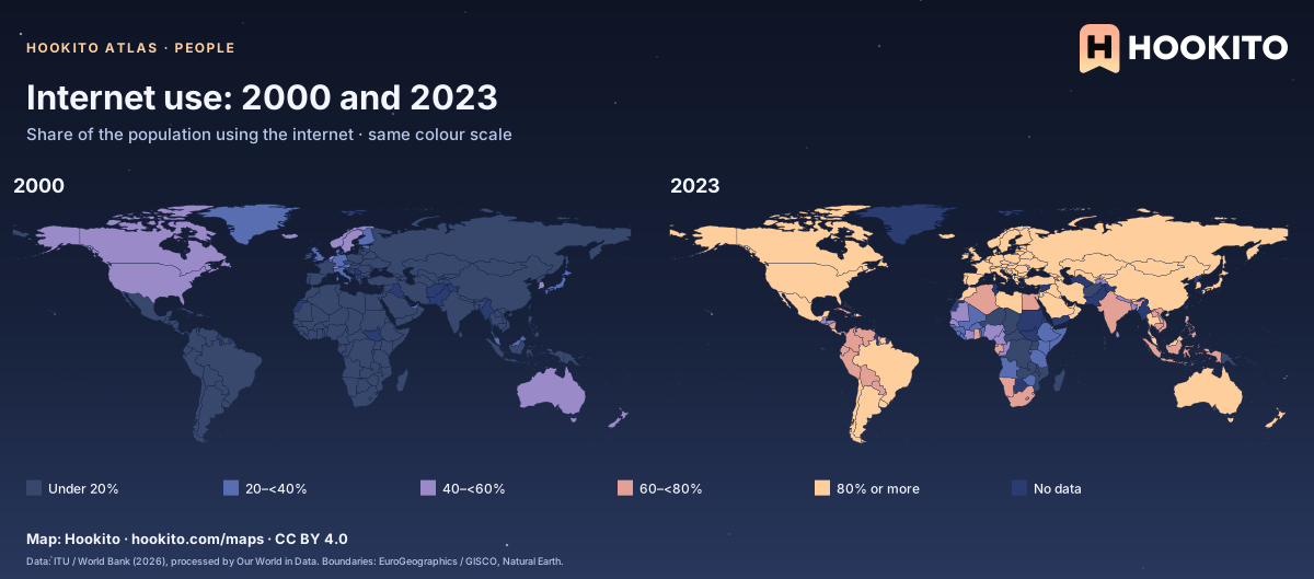
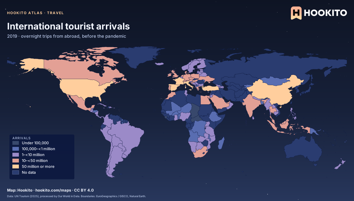
Population, age, health, wealth, migration and internet access around the world.
3 highlights · 6 maps in the collection
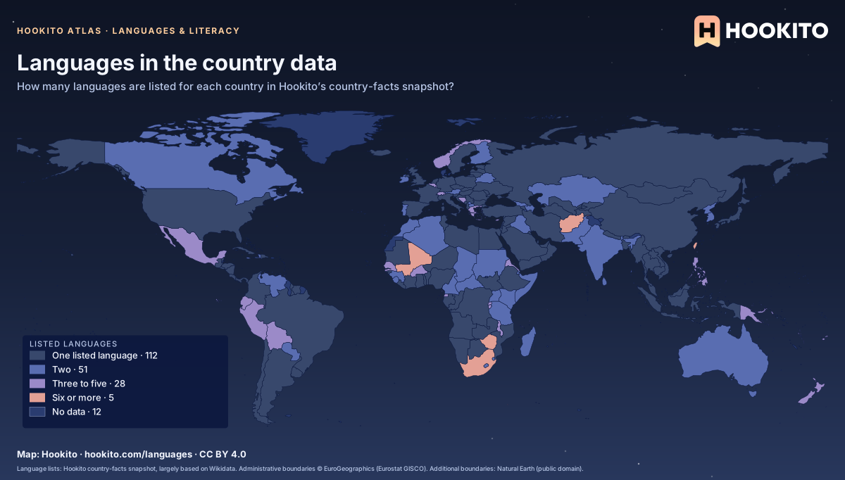
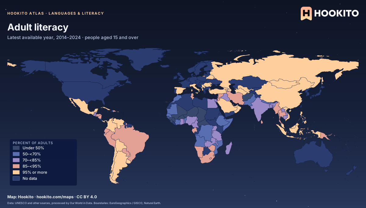
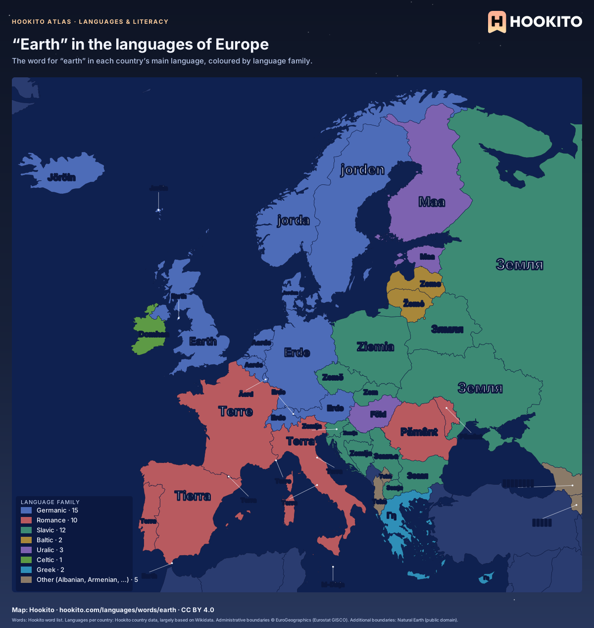
Languages in our country data, words across Europe, literacy and years of schooling.
3 highlights · 9 maps in the collection
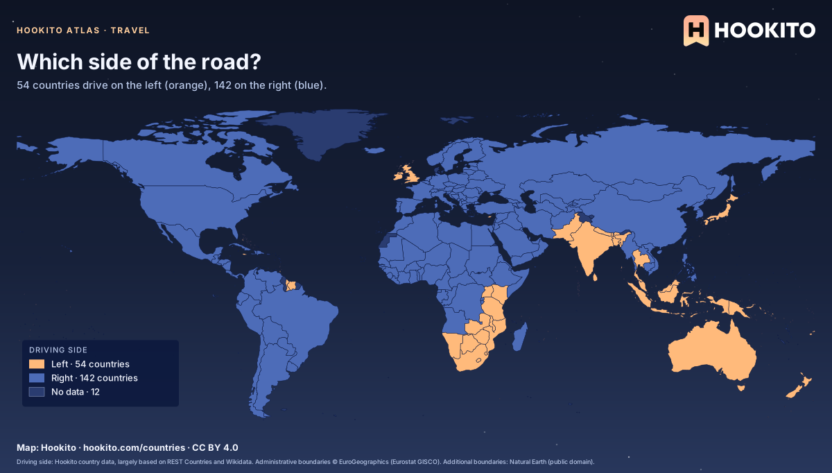
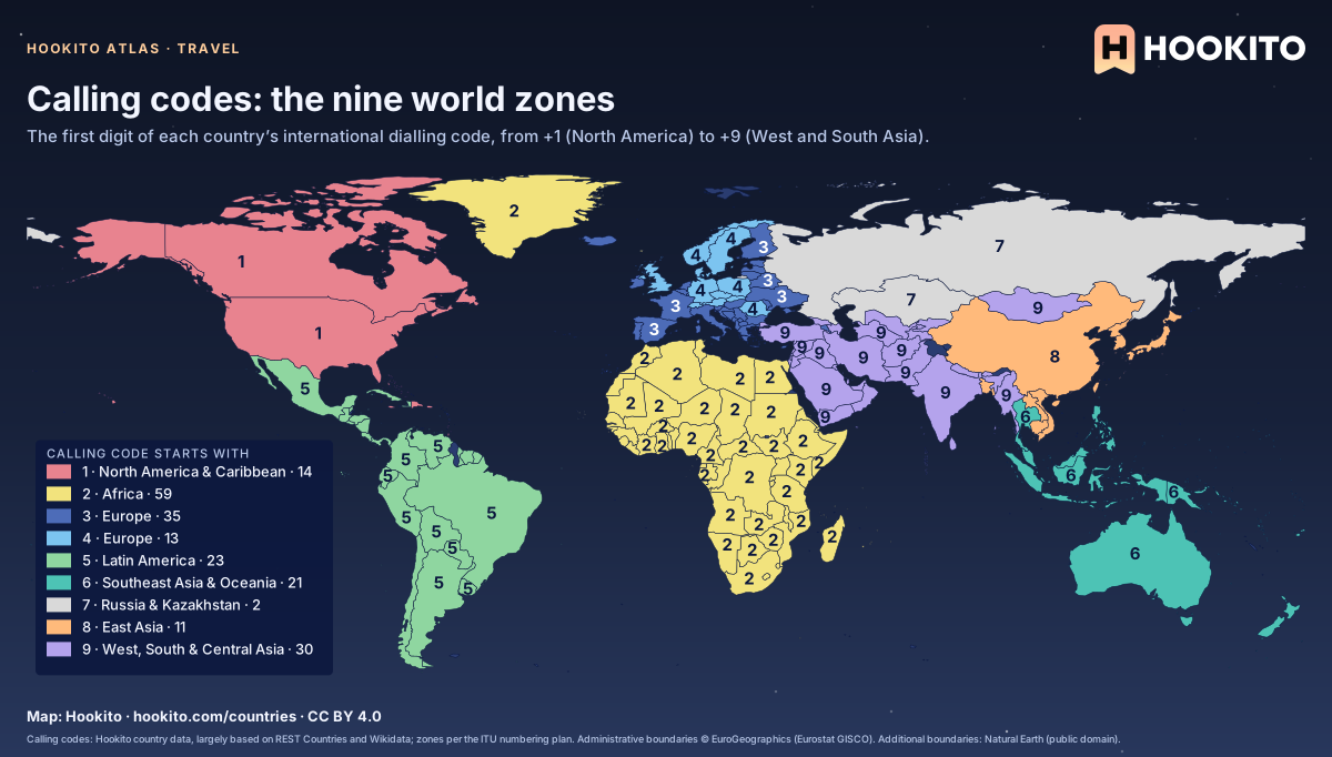
Driving sides, plugs, voltage, phone codes, emergency numbers, web domains and scripts: what changes when you cross a border.
2 highlights · 8 maps in the collection
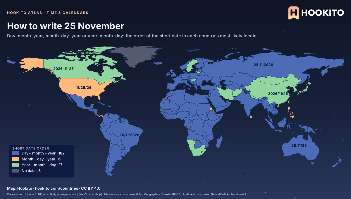
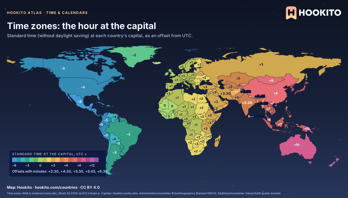
Time zones, clock changes, date order, the 12- or 24-hour clock and which day starts the week.
3 highlights · 14 maps in the collection
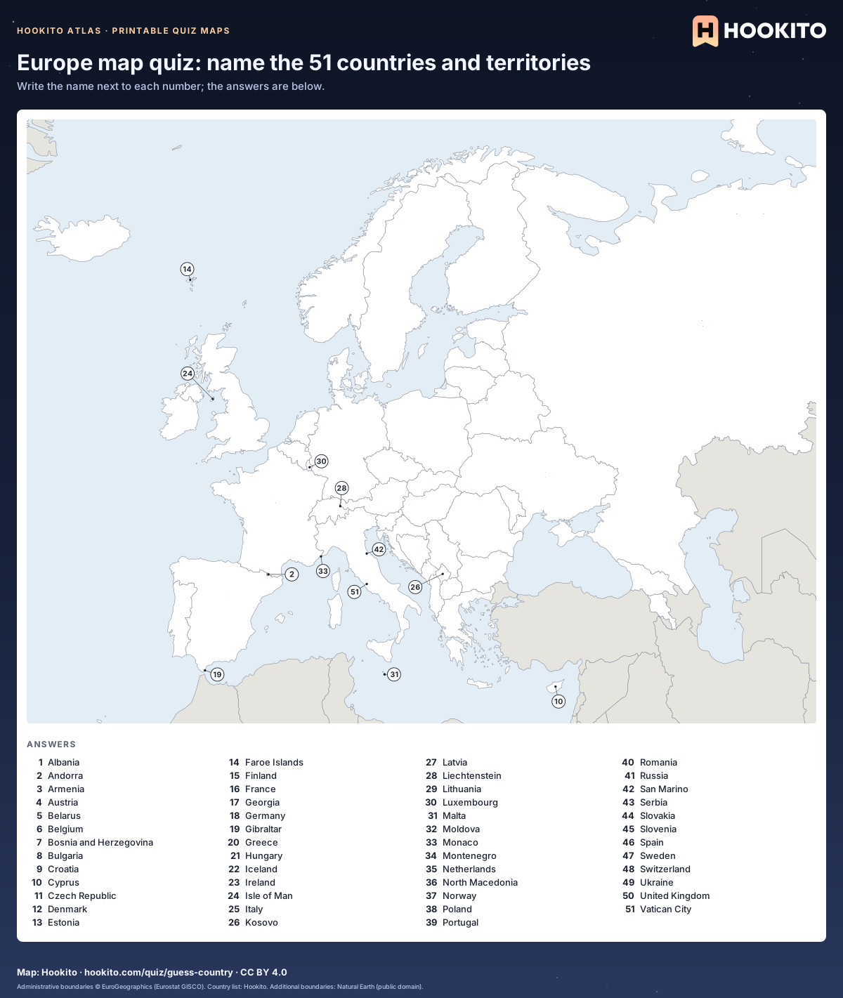
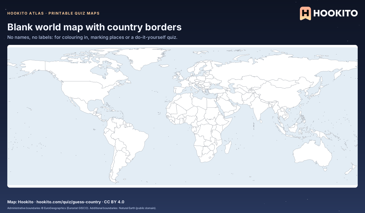
Numbered blank maps with answer keys, labelled maps and a blank world map, free to print for class or practice.
2 highlights · 7 maps in the collection
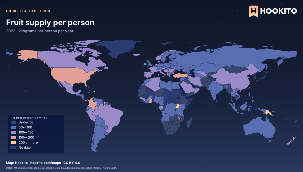
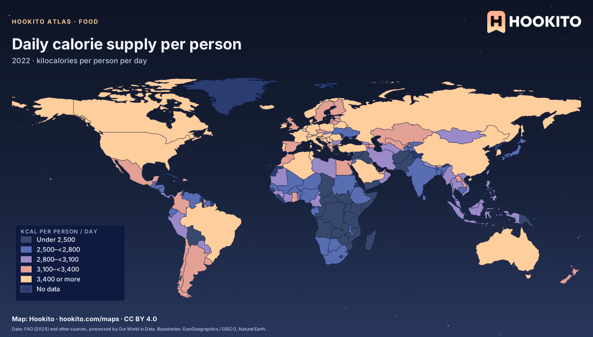
What is available to eat and drink per person: fruit, vegetables, meat, fish, milk, calories and alcohol.
2 highlights · 5 maps in the collection
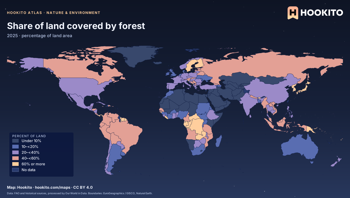
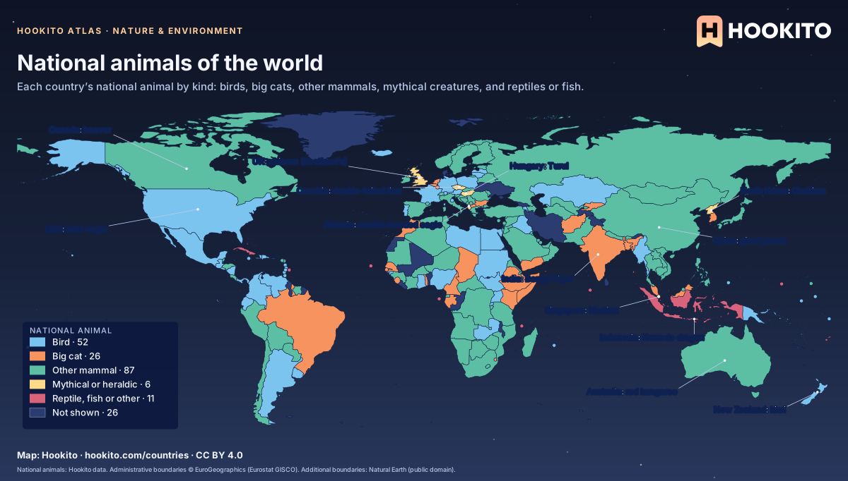
Forests, protected land, rainfall, emissions and national animals.
1 highlights · 4 maps in the collection
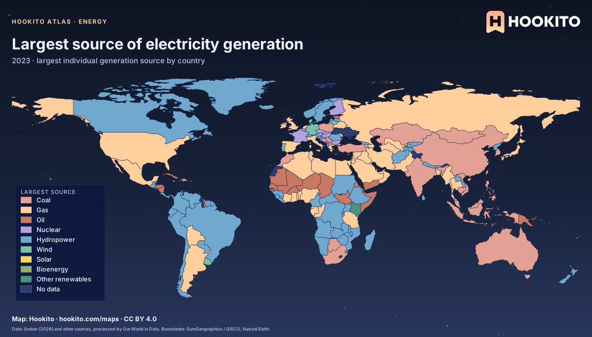
How countries generate electricity, and who has access to it.
2 highlights · 7 maps in the collection
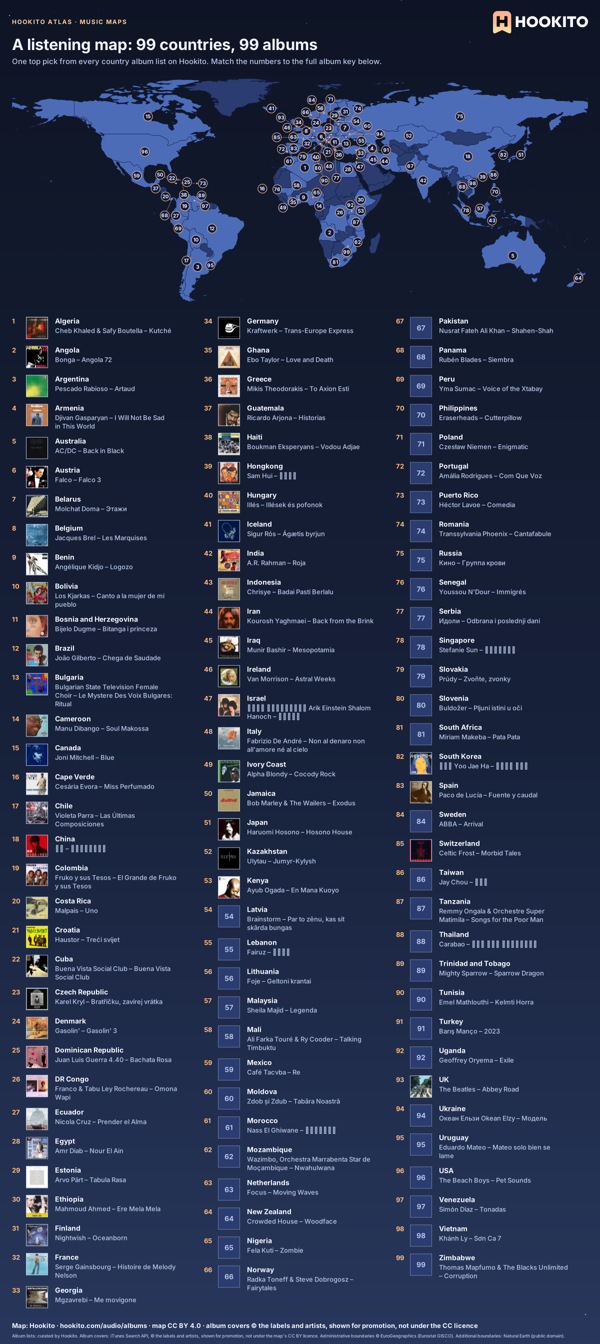
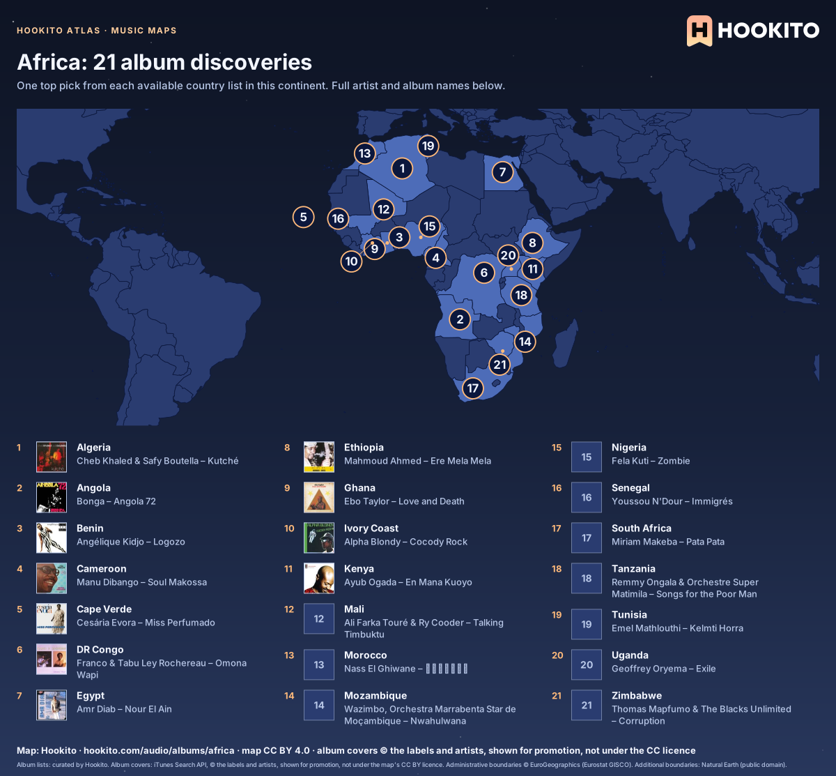
One album per available country list, worldwide and by continent.
3 highlights · 4 maps in the collection
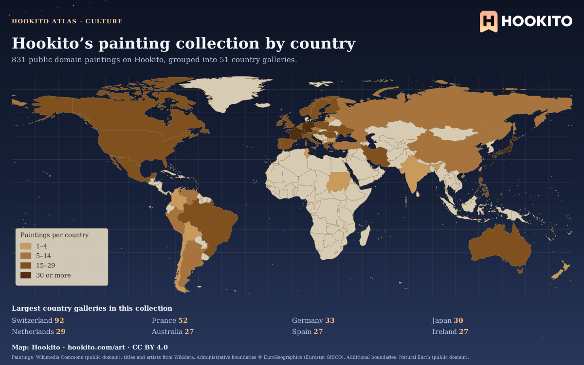
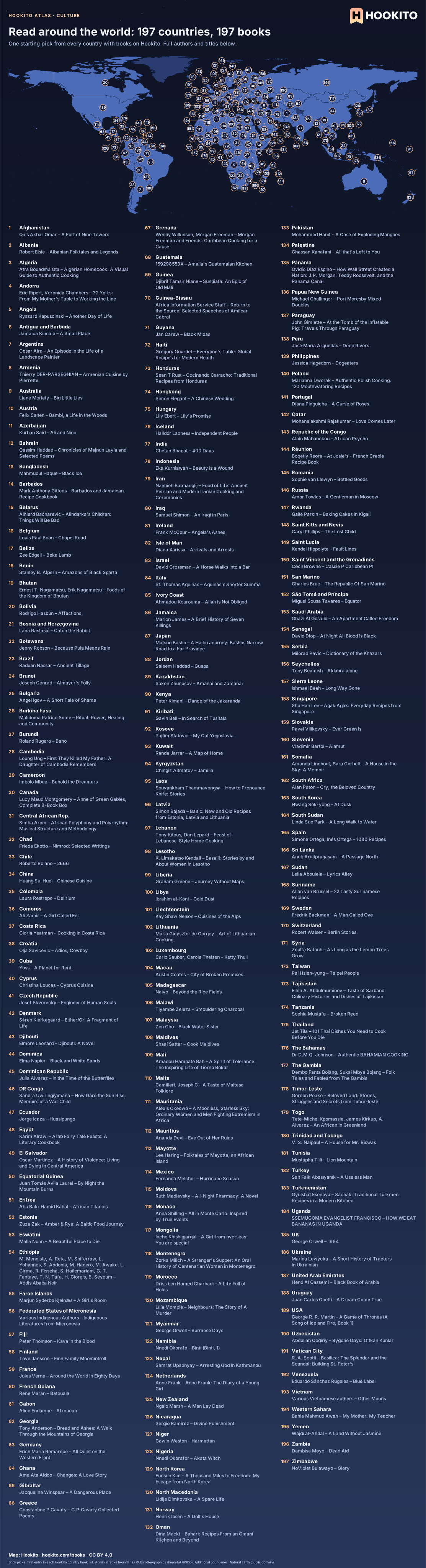
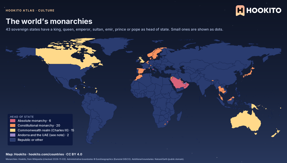
Painting galleries, a book from each country, monarchies and where country names come from.
2 highlights · 3 maps in the collection
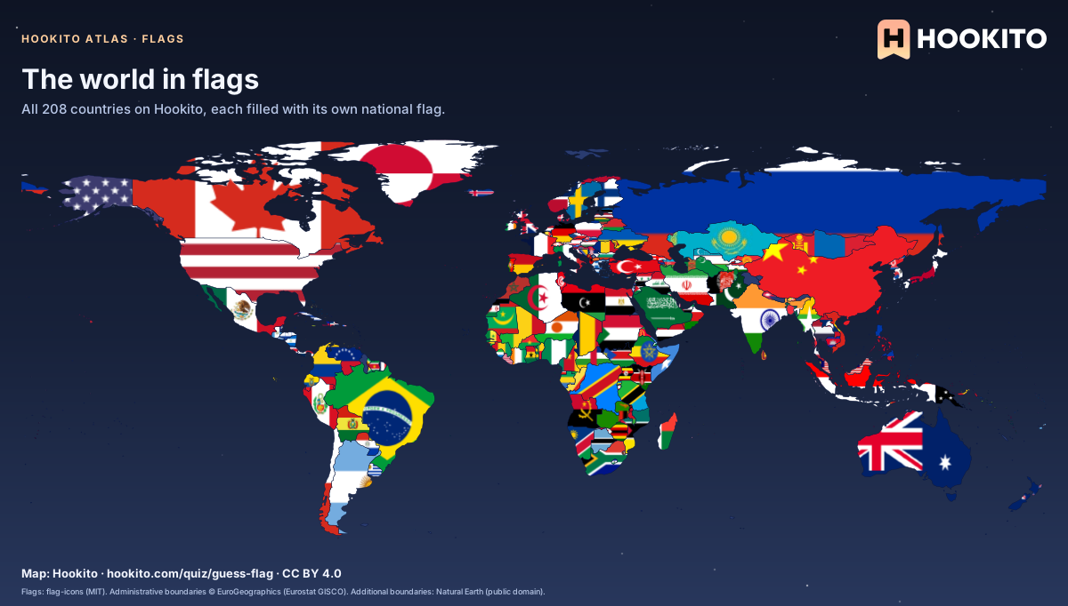
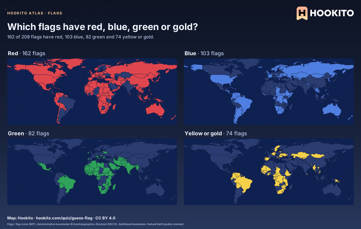
Every country painted in its own flag, and the colours flags share.
You’re welcome to share, print or adapt these maps. The renderings are licensed CC BY 4.0: credit them as “Map: Hookito, hookito.com”, with a link to this page where you can.
The underlying data keeps its own terms, so keep its credits too. Administrative boundaries © EuroGeographics (Eurostat GISCO), which also applies to most country outlines. Additional boundaries are from Natural Earth (public domain). Each map lists its other sources: Wikidata and GeoNames for country facts, Our World in Data for the statistics, Unicode CLDR and the IANA time zone database for the calendar and clock maps, flag-icons (MIT) for the flags, Wikimedia Commons for the paintings, NASA Earth Observatory for the night imagery. The maps are offered as finished images only; the boundary data itself isn’t available for download here.